Maps & Related Studies
Land Ownership, Control and Contestation in Karachi: Maps
Related Maps for the report on Land Ownership, Control and Contestation in Karachi and Implications for Low-income Housing
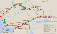
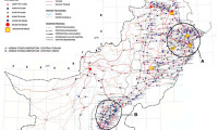
Karachi Mass Transit & Road Networks
Download a compilation of these maps: Karachi Mass Transit & Road Networks [PDF, 26.4MB]
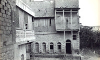
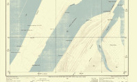
Historical Maps of Karachi
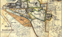
Download high-resolution versions of these maps: Historical Maps of Karachi [PDF, 4.9MB]
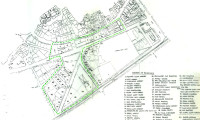
Miram’s Plans for Karachi, 1923
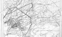
Download Miram’s Town Planning Schemes and Acts 1923 [PDF, 19.1MB] Download the full set of Miram’s Maps: Miram’s Maps for Karachi [PDF, 1.1MB]

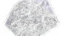
Hawkers of Saddar Bazaar
A high-resolution version of these maps can be downloaded as a PDF file: Hawkers of Saddar Bazaar – Maps [PDF, 3.6MB]
